

To Get Lost Maps
10 maps + general map,
photographs, posters and flyers, installation in Gelsenkirchen's city - Germany, 2015
[Urban Kunste Ruhr Artistic residency]
Gelsenkirchen (Rurh, Germany) is a former mining town that has been partly deserted since the end of the Second World War.
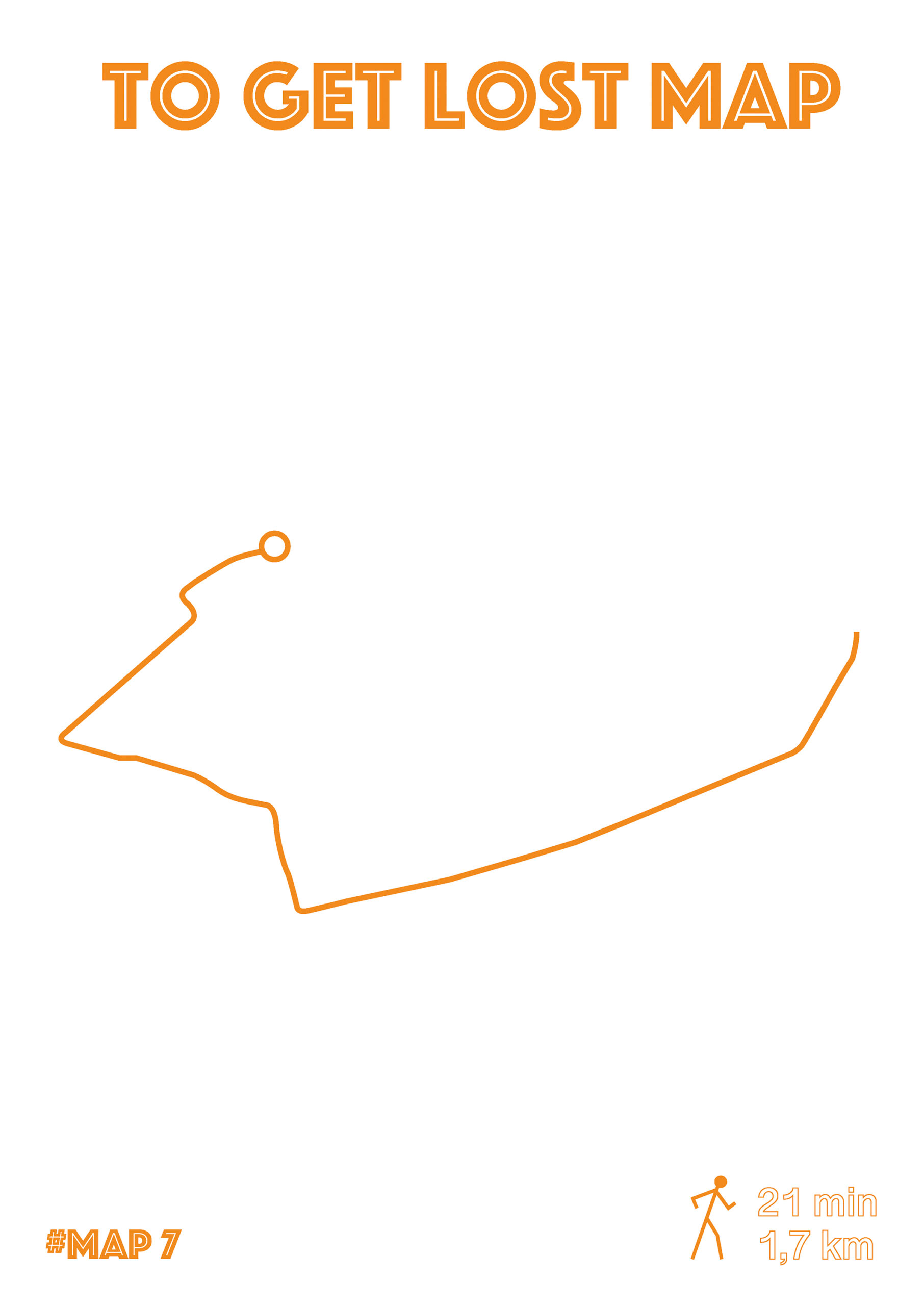
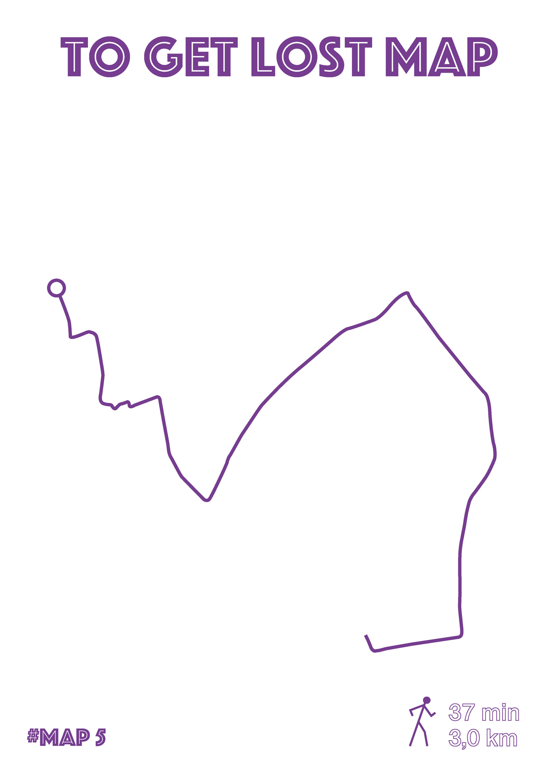
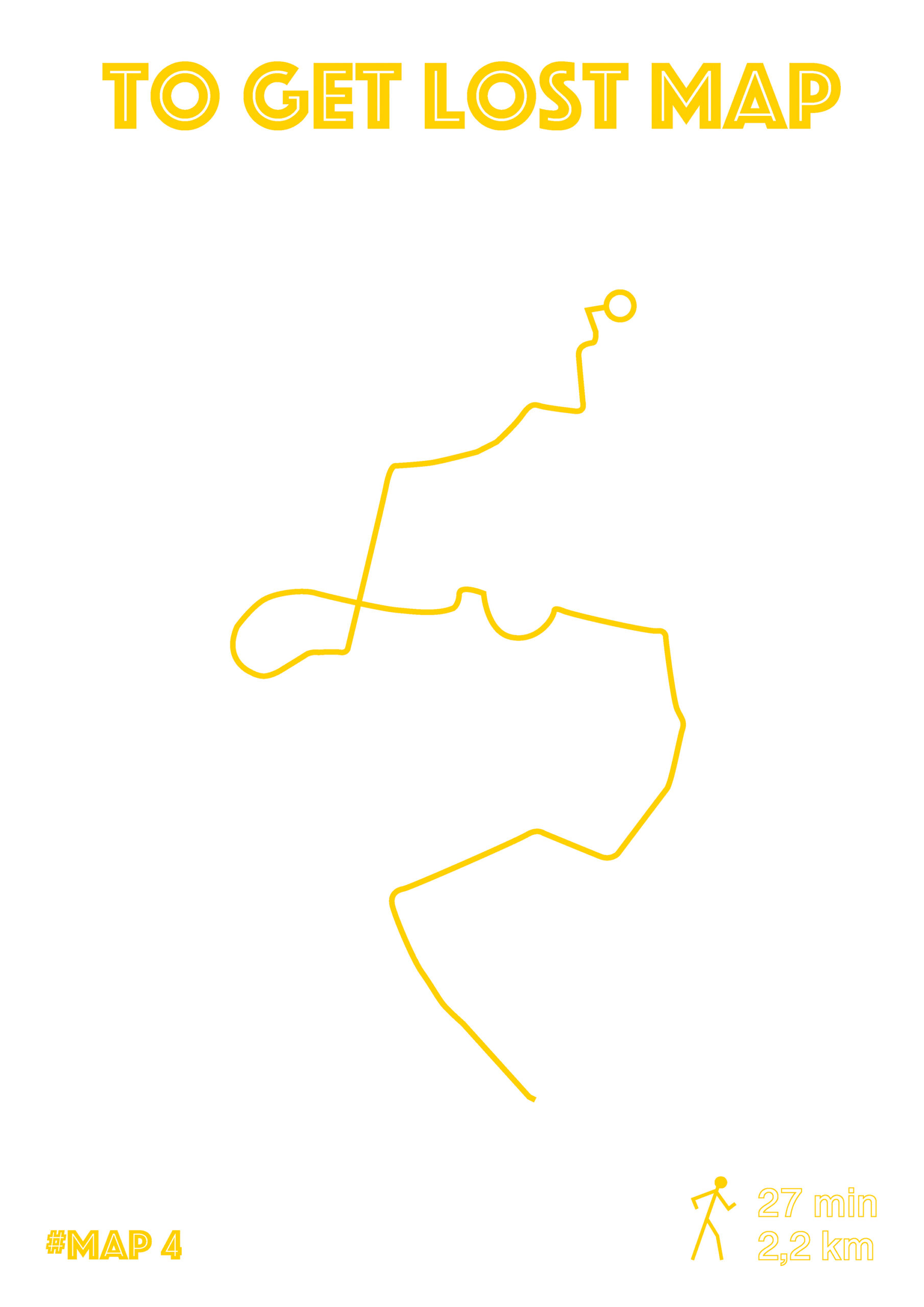
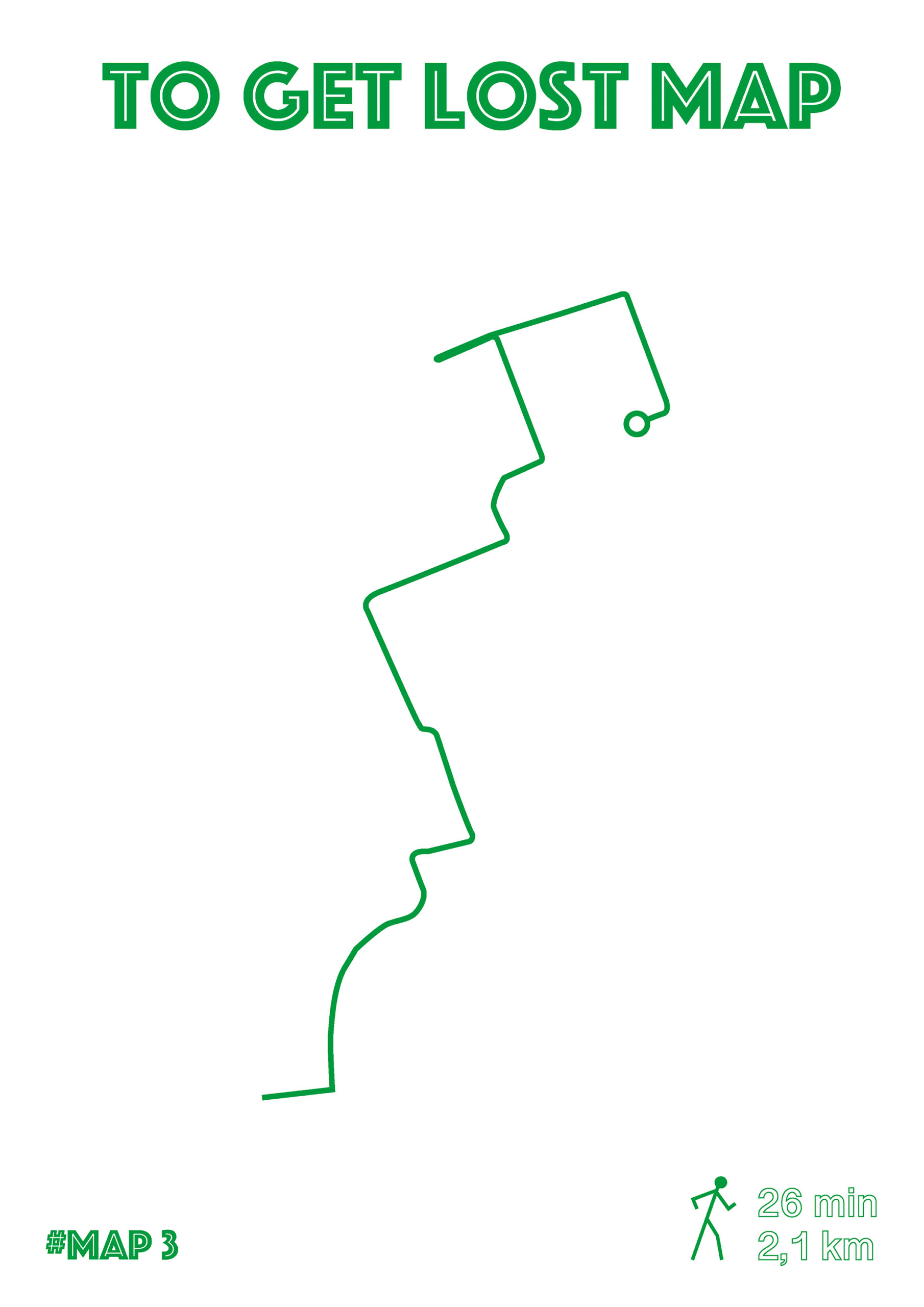
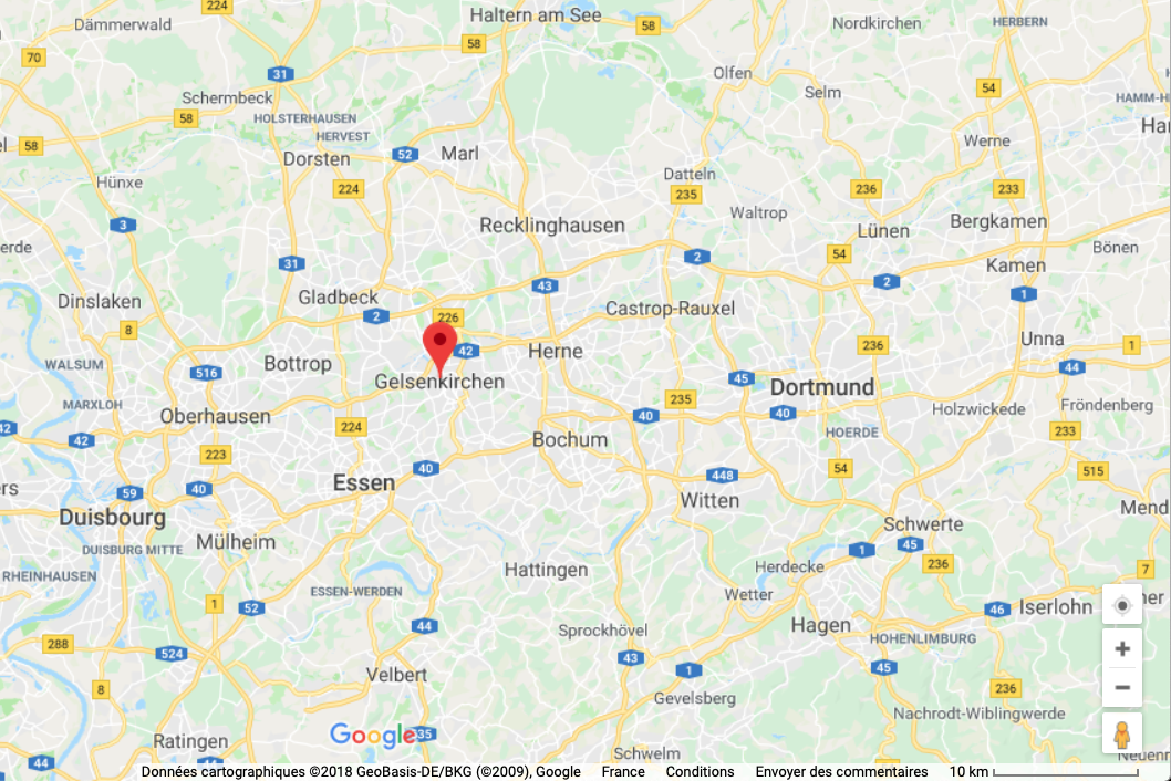
By documenting my long walks with photographs to discover the city, I realized that there are no maps spread to locate, even on the bus stations. Weirdly, it is also the only city around that is not delimited by borders or a perimeter on Google Maps, but is just represented by a red dot (see screenshots).
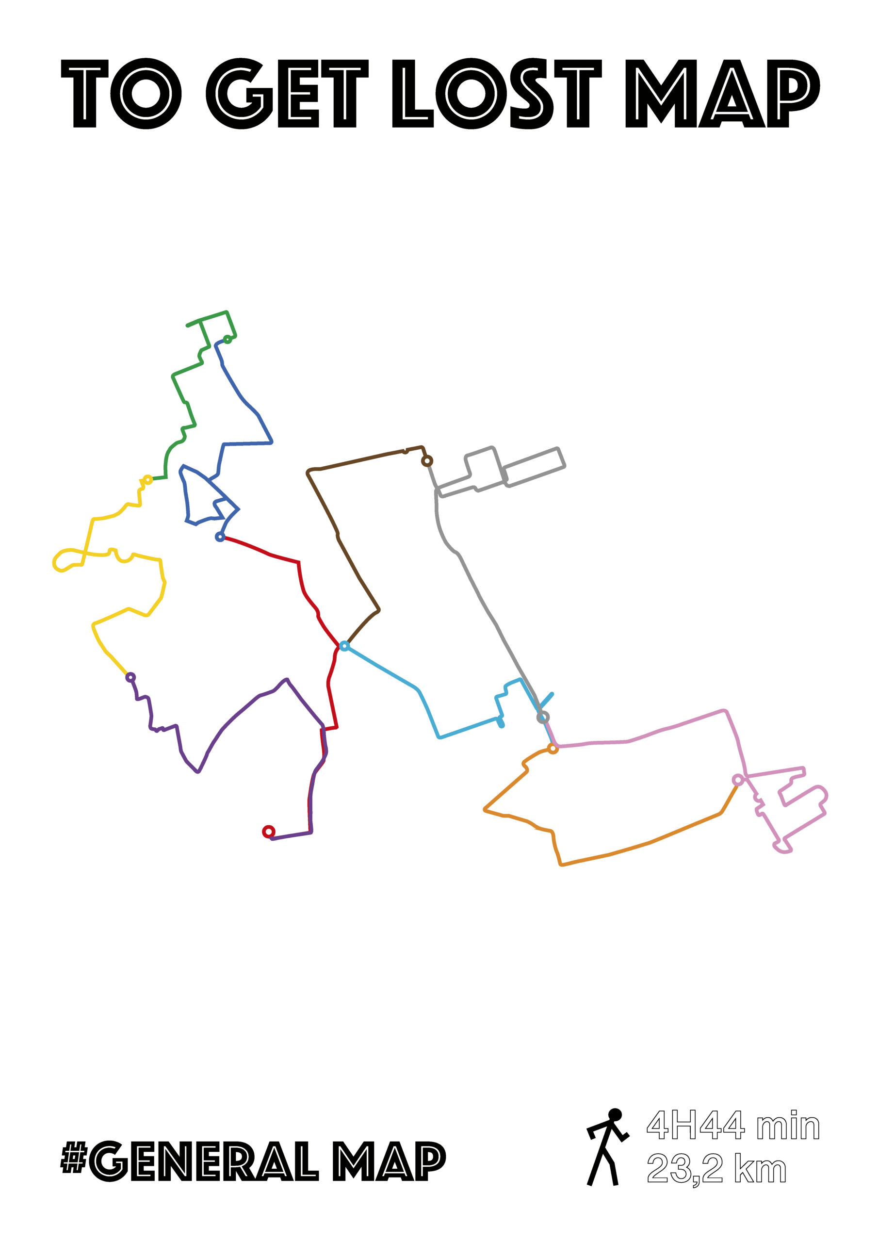
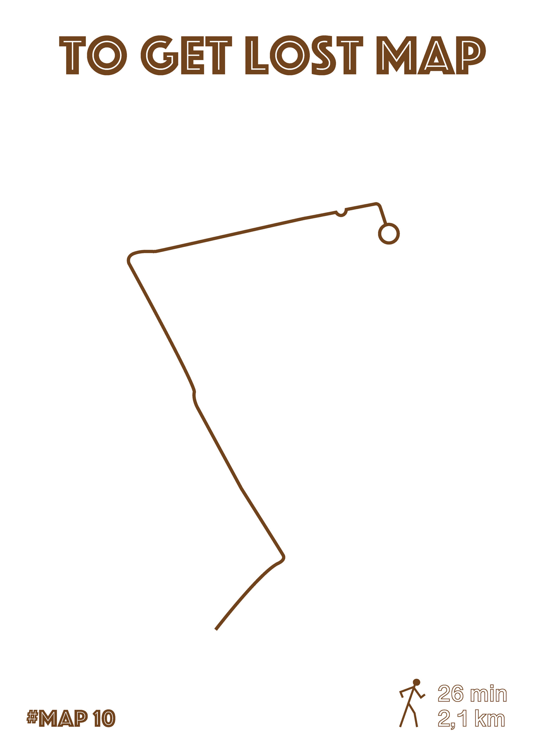
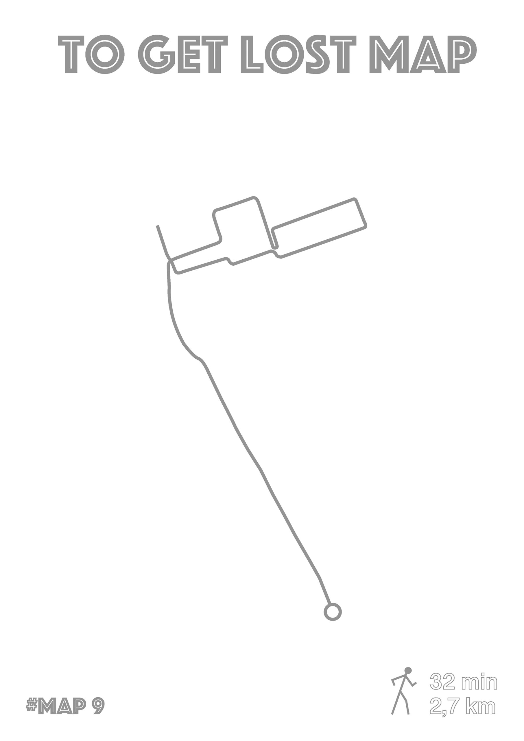
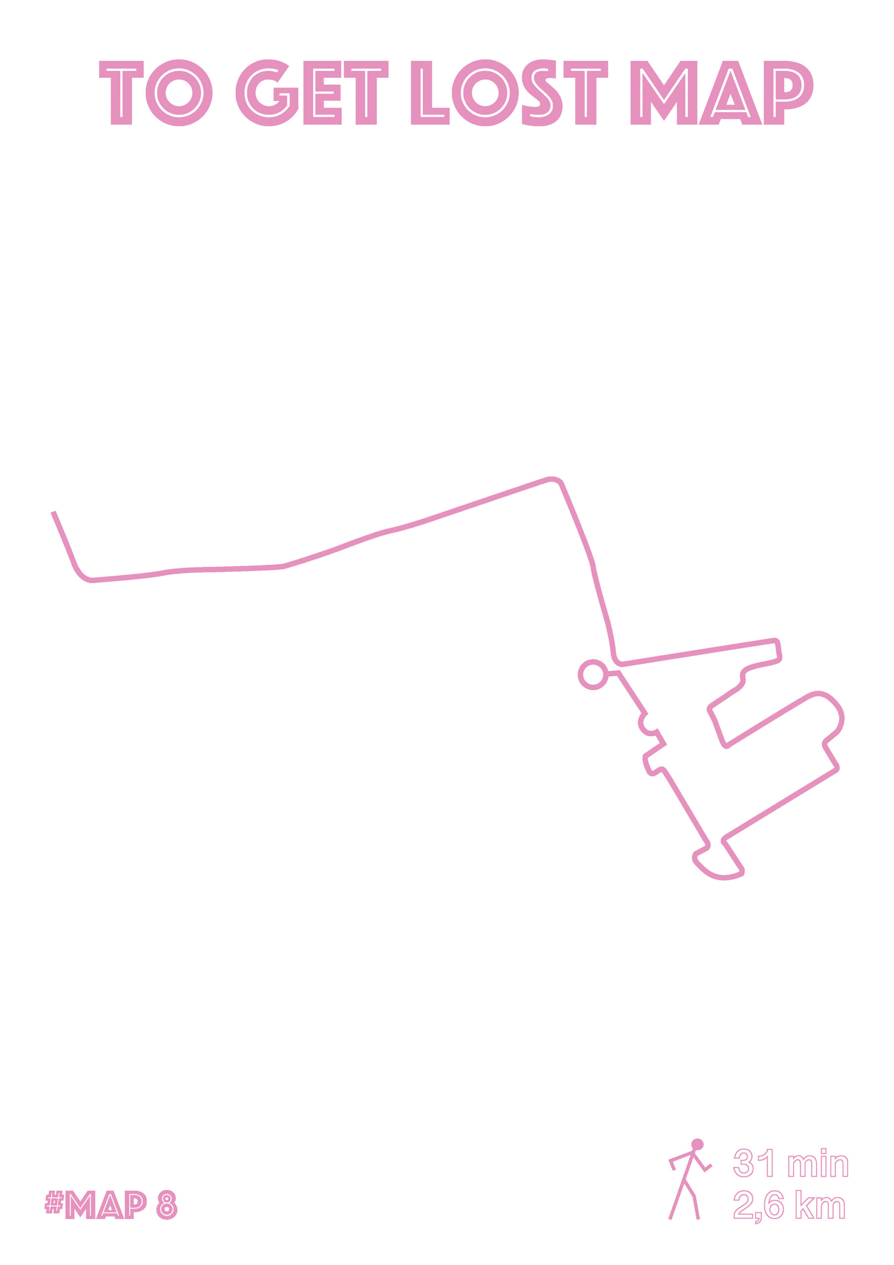
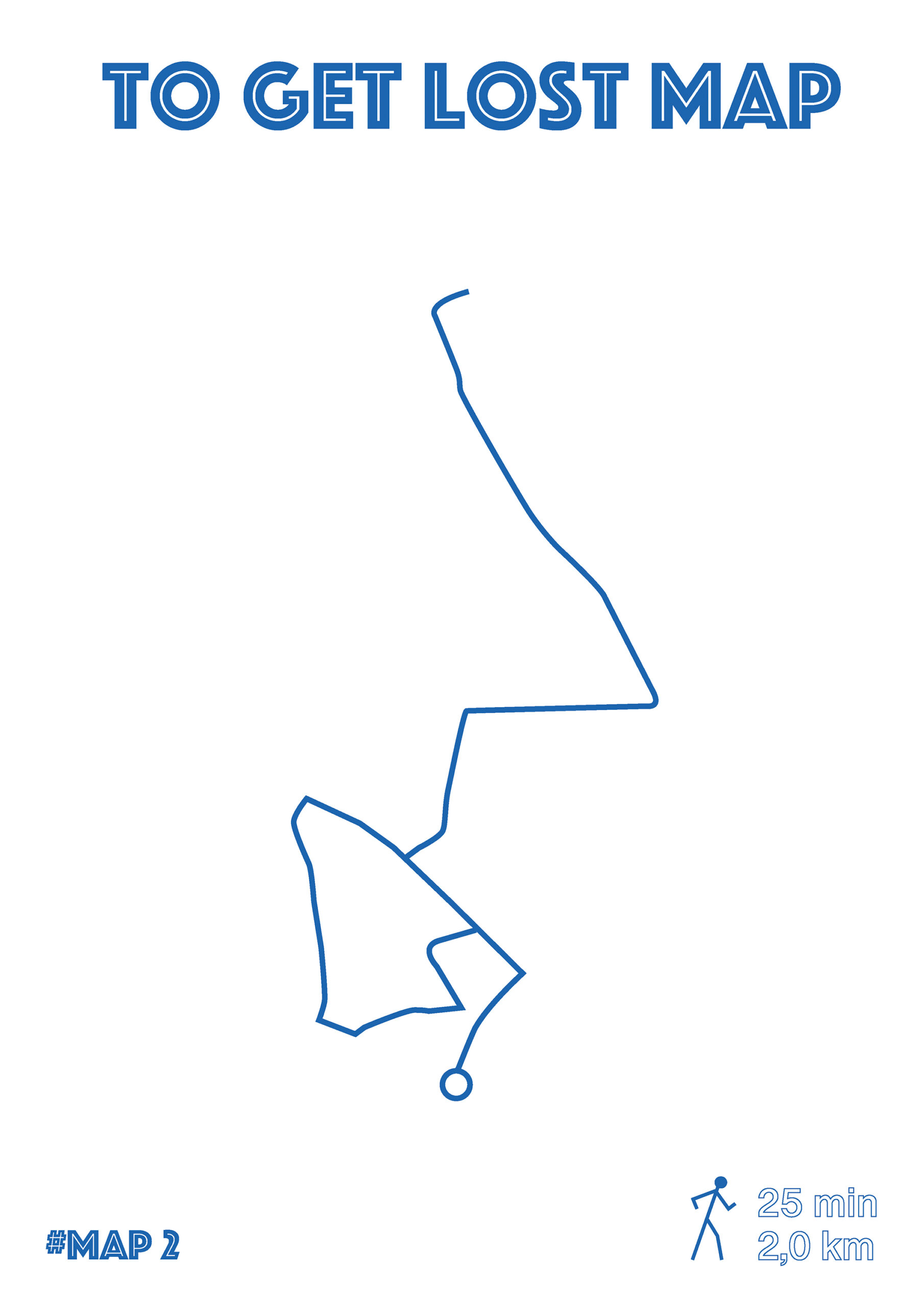
I therefore decided to draw «How to get lost maps» based on my wanderings. No borders, no street names, just a route, a distance in Km and a journey time as the only spatial indications. This is an invitation for people to wander around through a new path, whether they want to follow it closely or not. Linked together, the starting point of one is the point of arrival of another. A general map shows all these connections.
Printed as posters and then laminated, the ten A3 maps are exhibited in 10 different places in the city (such as bus stations) and accompanied by flyers to take away. These strategic points are the places where I have been myself.
By documenting my long walks with photographs to discover the city, I realized that there are no maps spread to locate, even on the bus stations. Weirdly, it is also the only city around that is not delimited by borders or a perimeter on Google Maps, but is just represented by a red dot (see screenshots).
I therefore decided to draw «How to get lost maps» based on my wanderings. No borders, no street names, just a route, a distance in Km and a journey time as the only spatial indications. This is an invitation for people to wander around through a new path, whether they want to follow it closely or not. Linked together, the starting point of one is the point of arrival of another. A general map shows all these connections.
Printed as posters and then laminated, the ten A3 maps are exhibited in 10 different places in the city (such as bus stations) and accompanied by flyers to take away. These strategic points are the places where I have been myself.
Tous droits réservés
Arek Kouyoumdjian 2026
Arek Kouyoumdjian 2026